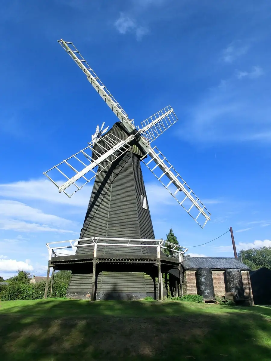
The Kent Downs is a National Landscape — the designation that replaced Area of Outstanding Natural Beauty in 2023, with the same legal protection — covering about 878 square kilometres of chalk country immediately south of Canterbury.
It is the eastern half of the North Downs, running from the London and Surrey border east to the White Cliffs of Dover, and it includes a section of the Greensand Ridge, a sandstone escarpment lying south of the chalk.
For Canterbury it is the hinterland: fifteen kilometres out, the city stops and the chalk begins.
Chalk escarpment and dip slope — a long ridge with a steep northern face and a gentler southern one, cut by dry valleys formed when the chalk was frozen and water could not soak in.
Chalk grassland, one of the richest habitats in Britain and one of the rarest, holding orchids, round-headed rampion and a long list of butterflies.
Ancient woodland, including some of the largest tracts in the south-east — coppiced sweet chestnut, hornbeam and beech.
Orchards and hop gardens, the “Garden of England” landscape, with oast houses.
Sunken lanes and villages of flint and Kentish ragstone.
The Wye Downs, fifteen kilometres south-west, are the best of it. The escarpment drops away in a series of dry valleys, the most dramatic being the Devil’s Kneading Trough — a steep coombe with a view across the Weald to the South Downs. The Wye Downs national nature reserve is exceptional chalk grassland, and the Wye Crown, cut into the hillside by students in 1902, sits above the village.
Chilham, twelve kilometres south-west, is a village of timber and brick around a square with a castle and a church, and has been used as a film set repeatedly.
The North Downs Way passes just south of the city and carries the Pilgrims’ Way into Canterbury from the west — the route Chaucer’s pilgrims notionally travelled.
King’s Wood at Challock, twenty kilometres out, is a large ancient woodland with fallow deer and a sculpture trail.
The Elham Valley and the villages of Barham, Bishopsbourne and Patrixbourne are on the Canterbury side.
Denge Wood, Bonsai Bank and the smaller reserves near Chartham are among the best orchid sites in Britain.
At the eastern end the chalk reaches the sea as the White Cliffs of Dover, thirty kilometres from Canterbury — National Trust land with a clifftop walk to the South Foreland Lighthouse and St Margaret’s Bay, and France visible on a clear day.
Free and open — this is working countryside crossed by a dense rights-of-way network, with National Trust and Kent Wildlife Trust reserves at intervals.
Getting there: buses from Canterbury reach the Downs villages, and the trains south-west to Chartham, Chilham and Wye put several of the best walks within reach without a car. Wye in particular has a station within walking distance of the Downs.
Seasons: May and June for the orchids and the chalk flora; September for the light; winter for the long views.
Underfoot: chalk drains fast but is slippery on steep sections when wet.
The designation that replaced Area of Outstanding Natural Beauty in 2023, carrying the same legal protection. The Kent Downs is one of them.
About 878 square kilometres, running from the Surrey border to the White Cliffs of Dover.
The Wye Downs and the Devil’s Kneading Trough, fifteen kilometres south-west, with a station at Wye.
Yes — it is working countryside with a dense public footpath network, plus nature reserves that are also free.
May and June, on the chalk grassland reserves. The Kent Downs are among the best orchid sites in Britain.