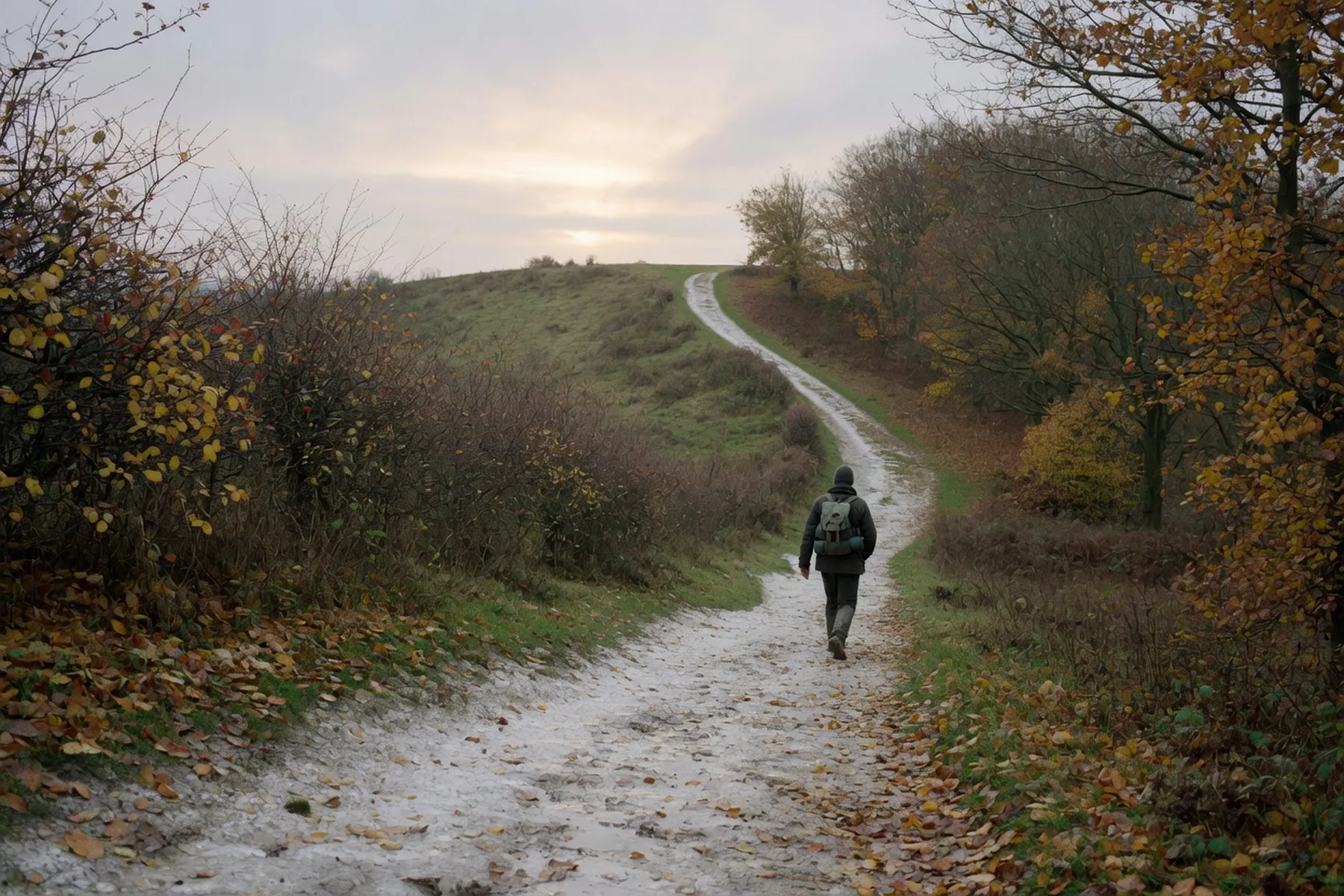
Canterbury sits at the point where two famous routes meet. The Pilgrims’ Way is the older idea: the corridor of tracks that carried medieval pilgrims from Winchester to the shrine of Thomas Becket, which the National Trails describe as “the most important in the whole of the UK” for more than two hundred years after his murder in 1170. The North Downs Way is the modern reality: a signed National Trail of 153 miles (246 km) from Farnham to Dover that, in the official wording, “weaves along the famous Pilgrims’ Way from Winchester to Canterbury”. You do not have to walk either in full: all three day sections out of the city are walkable with a train back at the far end.
Get the names straight before you set out, because they describe different things. The Pilgrims’ Way is not a single waymarked path; it is the historic line pilgrims took towards Canterbury’s shrine. The North Downs Way is the signposted National Trail that overlaps much of it, running through the Surrey Hills and the Kent Downs, both Areas of Outstanding Natural Beauty. There is a third name too: the Dover-to-Canterbury stretch retraces the route Archbishop Sigeric walked in 990 AD on his way back from Rome, and it is now the Via Francigena, the UK’s only European Cultural Route.
Three sections leave Canterbury, and each has a different character. Canterbury to Chilham is the classic day out: about 7 miles (11 km) and around four hours at a relaxed pace, ending at a handsome village with tea rooms and a station. Canterbury to Shepherdswell is the longer leg into open countryside, and Shepherdswell to Dover carries on to the coast for anyone who wants the full two-day shape. Third-party sites put Canterbury to Shepherdswell at roughly 10.4 miles (16.7 km) and four to five hours, and Shepherdswell to Dover at roughly 8.5 miles (13.7 km) and three to four hours; the route pages give no clean mileage for those two legs, so treat the numbers as approximate and check the OS map first. For a single day that starts in the city, Chilham is the one most people choose.
The Kent Downs National Landscape publish this walk on their own blog. You leave the city past the Cathedral and Eastbridge Hospital, cross the River Stour at the Westgate, and climb past St Dunstan’s Church into Harbledown. Harbledown was a medieval pilgrim stopping point, and the hill beyond it, Golden Hill, leads into Bigbury Woods. From there the route runs through Chartham Hatch in Chartham parish, past the former Nickel Farm Orchard Estate at Mansfield, then Old Wives Lees and down the Long Hill descent to the Chilham churchyard, where a North Downs Way gateway sign marks the drop into the village. The published distance is about 7 miles (11 km), and the blog is the page to keep open for any change to the route.
The early part of the walk is where the sights cluster. Bigbury Camp is an Iron Age hillfort more than 2,000 years old, visible now as earthworks rather than walls. No Man’s Orchard is a Local Nature Reserve of around 200 traditional apple trees and the obvious picnic stop. Harbledown, the first village out of the city, earned its place in the story as a resting point on the pilgrim road, and the climb over Golden Hill is the moment the city falls away behind you. None of these needs a detour; they sit on the route itself.
Chilham is why the walk earns its keep. The village square is medieval, ringed with timber-framed buildings, with views of Chilham Castle and St Mary’s Church across the way. For food, the Church Mouse Tea Rooms and The White Horse overlook the square, and The Woolpack Inn sits near the station. The station is a short walk from the village, so you can walk in the morning and be back in the city before the afternoon queues build. Check the train times before you set out rather than after you arrive hungry.
This is the section that carries the National Trail out of the city, and the route-finding matters from the first street. The northdownsway.co.uk directions are explicit: leave by the Westgate, then St Peter’s Street, High Street, Mercery Lane, Burgate, Church Street and Monastery Street — not Love Lane — then Longport, Spring Lane, Pilgrims Way, St Augustine’s Road and Pilgrims Road over the railway bridge. After the city the path passes Upper Digges Farm, Adisham Road, Three Barrows Down and Long Lane Farm, crosses the East Kent Railway North Bank level crossing, and comes into Shepherdswell by the village green and church, with Patrixbourne, Womenswold and its thatched cottages, and Woolage Village along the way. The same page warns the route can be difficult to find through the large fields and was very overgrown in places, especially with oil seed rape, so allow extra time for working out where it goes.
The second leg is mostly open fields, and the landmarks are quieter. You pass Waldershare House, built around 1712 and now apartments not open to the public, and All Saints Church at Waldershare, which is closed and apparently for sale; then Ashley with its thatched cottages and Pineham, before the path shares the White Cliffs Country Trail into Dover. The A2 crossing has been diverted east to Guston, where a bridge takes you over. The descent into Dover is tree-covered at first, then tarmacked past the cemetery and through Connaught Road and Maison Dieu Road to the market place. The route page puts it well: arriving in Dover from the north is considerably more pleasant than from the harbour. If Dover itself is the plan rather than the walk, the site’s day trips from Canterbury piece covers getting there by train.
The ground is chalk, and chalk after rain is slippery, so sturdy shoes are the one piece of kit that matters. The Chilham leg runs through woods and orchards on tracks and lanes; the Shepherdswell leg is where the warnings bite, with big fields, faint paths and, in season, oil seed rape that hides the way. The North Downs Way is waymarked for its whole length, and the signs are generally good where the route is obvious and less help where the fields are not. Carry water and a snack, because there are stretches with nowhere to buy either. None of this is difficult walking, but it is not pavement either, and the difference shows within an hour of the city gate.
The train is the reason these work as day walks. Chilham station is a short walk from the village square, and the journey to Canterbury takes under 15 minutes on Southeastern. Shepherdswell’s station is spelled Shepherds Well on the rail network — remember that when you search timetables — and it sits on the Dover-to-Canterbury line towards London Victoria, with an hourly Southeastern service seven days a week to Canterbury East. From Dover, hourly trains run seven days a week from Dover Priory back to Shepherdswell, and Priory itself has frequent services to London and to Canterbury, Ramsgate, Ashford and the Medway towns. There is also an infrequent Stagecoach East Kent bus between Dover and Eythorne on weekdays only, stopping at Shepherdswell Station and Siberts Close, but the train is the service to plan around.
If you are driving to the start, the long-stay car parks the route pages name are Holman’s Meadow, Rosemary Lane and Station Road West, plus St John’s Nursery. Station Road West is by Canterbury West station and closest to the North Downs Way, but it is the expensive option. Park and ride is cheaper: Wincheap to the west off the A2, New Dover Road to the south off the A2050, and Sturry Road to the east off the A28, with buses running Monday to Saturday roughly 6:30am to 9pm. The route pages note that parking plus the bus works out under half the price of parking centrally.
The Downs are at their best in the drier months, when the chalk paths have had a chance to firm up, but any clear autumn day works, and the woods hold their colour late into the season. While you are here, Canterbury Festival runs 16 to 31 October 2026, a two-week arts festival whose sample programme includes Sheku Kanneh-Mason with Sophia Rahman at The Great Hall on Wednesday 21 October and a Family Takeover on Saturday 31 October from 10am to 4pm. The organiser is Canterbury Festival, and every date and ticket detail sits on canterburyfestival.co.uk, so check their page rather than taking one from here. For everything else across the district, canterbury.co.uk/whats-on is the hub.
Buy or borrow the Ordnance Survey Explorer map for the Kent Downs — it is the thing that sorts out the field crossings — and keep the National Trail’s North Downs Way page open for the route description and any notices. The route pages at northdownsway.co.uk carry the street-by-street directions used above and are worth printing. Check Southeastern or National Rail for the return train on the day, and check the Kent Downs blog and the National Trail pages for any current closures before you commit. The site’s walks in and around Canterbury piece covers the shorter city and river routes.